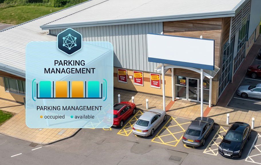
Circling around for minutes just to find an empty parking spot is a familiar experience for almost anyone who has parked at an industrial park, a commercial building, or a densely populated residential area. The issue is not a lack of parking spaces as lots often have plenty of vacancies for most of the day but rather the fact that no one knows exactly which spots are open and which are occupied. This lack of visibility frustrates drivers and makes it difficult for parking facility managers to optimize their available space.
IKAM deploys a Smart Parking solution based on LoRaWAN sensors mounted directly on individual parking spaces to monitor occupancy status in real-time and record parking duration for both indoor and outdoor areas.
The sensor determines vehicle presence by simultaneously combining two technologies: microwave radar and a geomagnetic sensor. The radar detects the motion and distance of objects above, while the geomagnetic sensor identifies magnetic field disturbances caused by a car's metal chassis when it parks in the space. The two data streams are cross-referenced using a signal processing algorithm, effectively eliminating most false positives common to single-sensor systems such as mistaking a nearby parked bicycle or a stray metal object rolling past for an actual parked car.
Combining these two technologies yields an accuracy rate of over 99% a figure verified through real-world deployments in the United Arab Emirates, Spain, and Panama, where LoRaWAN sensors were installed on a large scale to automate the monitoring of parking status and duration.
Parking facilities spanning several hectares whether across multiple basement levels or numerous building blocks face significant challenges with Wi-Fi due to weak signals and the need for an excessive number of access points. Relying on 4G for individual sensors drives up operating costs, as each device requires its own subscription fee. LoRaWAN addresses both issues simultaneously: it enables long-range data transmission up to a thousand meters via a single base station, while its ultra-low power consumption allows battery-operated sensors to function continuously for over five years without requiring battery replacements or hard-wired connections.
This is also why installation is surprisingly simple; unlike traditional sensor systems that require trenching for cabling, the device can simply be mounted on the road surface or embedded in the ground depending on the installation method and then wirelessly connected to the existing network.
Raw data regarding the status of individual parking spaces only becomes truly valuable when transformed into actionable information for managers. Whenever a vehicle enters or exits a space, a sensor transmits a near-instantaneous report to the cloud platform, where the overall parking status map is continuously updated. By monitoring this data, managers can identify areas with high vacancy rates versus those that are consistently full during specific times, allowing them to adjust pricing based on actual demand rather than applying a fixed rate for the entire day.
For parking facilities with strict regulations such as designated spaces for people with disabilities or priority zones parking duration data helps identify unauthorized occupancy, an issue that previously could almost only be addressed through manual inspections.
Sensors mounted directly on the road surface must withstand hundreds of vehicle passes daily, constant exposure to the elements, and occasional temporary flooding. An IP68 rating for water and dust resistance, combined with a load-bearing capacity of tens of tons, is virtually essential for the device to survive years of outdoor operation; these are not merely impressive specifications on paper, but critical factors determining the actual lifespan of the investment.
Beyond the hardware itself, the value IKAM delivers through this solution lies in transforming parking lots from static spaces managed merely by visual observation and estimation into systems driven by real-time data. This enables more efficient use of every square meter, allows drivers to locate spaces faster, and provides operators with a factual basis for decision-making rather than relying on guesswork.